
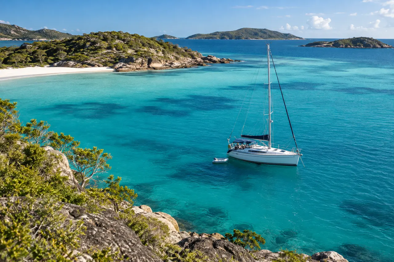
The quick answer

Moreton Bay rewards preparation: shallow water, strong weather changes, marked channels and busy approaches can combine quickly.
- Who it suits
- Skippers researching Queensland
- Before you start
- Bring your vessel, crew and route details to the planning discussion
- Time to allow
- Recheck charts, notices, forecast and local restrictions for the actual trip
- Budget beyond tuition
- Current navigation information, suitable training and flexible travel
- Your next step
- Use the linked Queensland authorities before making operational decisions
- Before relying on advice
- Check the current official source. Reading a guide does not certify practical competence or grant permission to operate.
Expanded 5 October 2026 · SkipperCourse editorial team · Illustrative exercises, not operational instructions.
Plan for shallow water
Review official charts, tide predictions and under-keel clearance for the whole route. A track that worked at another state of tide may not be appropriate today.
Identify banks, channel edges and safe waiting areas. Keep position awareness when a view of open water makes the bay feel less constrained than it is.
Watch the weather pattern
Check current Queensland marine forecasts and warnings and observe local cloud, wind and sea-state changes. Summer storms and strong changes can reduce visibility and make exposed stretches uncomfortable quickly.
Choose shelter based on the forecast direction, not just the nearest shoreline. Decide early when to shorten the trip.
Treat entrances as separate decisions
The bay, river approaches and any coastal bar each present different traffic and sea-state risks. Do not apply a sheltered-water assessment to an exposed entrance.
Review Maritime Safety Queensland information and local navigation warnings. If considering a bar, use a dedicated go/no-go assessment and local advice.
Make depth a route question, not a single number
A shallow-water plan needs the vessel’s actual draught, the chart information, the relevant tide prediction and a margin appropriate to the trip. Check the constrained parts of the route rather than only the departure and destination. An apparently open stretch of water can still limit the route, and a previous track does not prove clearance for another boat or tide.
Maritime Safety Queensland’s Beacon to Beacon guides include Moreton Bay mapping and a separate legend. Read the map notes as well as the symbols. Use them with the other current navigation information relevant to the trip; downloading a familiar-looking map is not the same as checking its limitations, coverage and currency.
Practise the decision to stop adding commitments
Illustrative example: a delayed start means an island lunch stop would leave less time for the return and a different state of tide. The crew suggests staying only briefly. First reconsider the whole route: the shallow section, expected conditions on the return and the workload of an unfamiliar arrival. A shorter stay does not necessarily restore the assumptions that supported departure.
A useful alternative might be to remain in a suitable local training area or choose another shore activity. Establish this option with the crew beforehand. The educational value is recognising how timing changes the plan, not completing a particular destination at all costs. Record what you would check differently next time rather than simply recording that the trip was cancelled.
Keep a bay lesson distinct from entrance or bar training
When comparing schools, ask whether the proposed lesson covers navigation in the bay, close-quarters handling, coastal work or a specific entrance. Those labels should lead to different learning objectives and preparation. A provider’s Queensland address does not demonstrate expertise at every local bar or an intention to visit one during your booking.
Prepare a question list with your actual boat type, departure area and intended future use. Ask how the instructor will teach position awareness and cross-checking rather than just following a stored route. Debrief any mismatch between expected and observed conditions, and use the dedicated bar guide only as a decision framework—not as a substitute for local instruction.
Keep the decision ahead of the destination
Check
Current information, actual boat and crew capability.
Compare
Do conditions still match the plan’s assumptions?
Decide
Continue, change or postpone before options narrow.
Update
Brief the crew and communicate the revised plan.
Conceptual learning aid. Follow current official guidance and appropriate practical instruction.
Put the guide into practice
Use this worksheet to organise a discussion with your instructor or operator. Complete it for the actual boat and intended activity; it does not approve a trip.
| Item | Planning question |
|---|---|
| Constrained sections | Where does depth or channel width limit this boat, including the return and alternatives? |
| Tide assumptions | Which location and time does the prediction apply to, and what happens if the trip runs late? |
| Information pack | Current charts, Beacon to Beacon notes, relevant notices and the correct forecast area. |
| Training scope | Is the session about bay navigation, boat handling, coastal passage work or a separately assessed entrance? |
Working checklist
- Calculate under-keel clearance
- Stay within marked channels where required
- Check forecasts and local warnings
- Plan weather-appropriate shelter
- Make a separate assessment for any bar
Questions skippers ask
Why can the bay become rough so quickly?
Shallow water and wind can create short, steep seas. The effect depends on the route and conditions, so monitor changes early.
Is a chartplotter enough for the channels?
No. Use current official chart information, maintain lookout and cross-check position and depth.
Can I reuse last weekend’s GPS track?
It may help you review a previous trip, but it is not a clearance guarantee. Reassess chart information, tide, conditions and the actual boat before treating any recorded track as relevant.
Should beginners avoid all Moreton Bay sailing?
Choose a suitable instructor, vessel, session and conditions. The useful question is whether the specific exercise matches the learner’s experience—not whether an entire region can be labelled suitable or unsuitable for everyone.
Primary sources to check
Open these sources again when planning; linked requirements and conditions may have changed since this guide was reviewed.
Maritime Safety Queensland↗BOM Queensland marine↗MSQ: Beacon to Beacon guides and map notes↗
Schools to investigate for your next step
YouSail-published school records, mirrored from SailingSchools. Source snapshot: 5 October 2026. Listings are not endorsements or confirmation of current courses, accreditation or available places.
Mainstay Sailing
Airlie Beach · queensland
The YouSail record places this school in Queensland. This is a state match, not proof that it teaches in the exact waters discussed.
Paper Sailors Rock
Manly · queensland
The YouSail record places this school in Queensland. This is a state match, not proof that it teaches in the exact waters discussed.
Southern Cross Yachting
Manly · queensland
The YouSail record places this school in Queensland. This is a state match, not proof that it teaches in the exact waters discussed.
Sunshine Sailing Australia
Mooloolaba · queensland
The YouSail record places this school in Queensland. This is a state match, not proof that it teaches in the exact waters discussed.
Whitsunday Sailing School
Airlie Beach · queensland
The YouSail record places this school in Queensland. This is a state match, not proof that it teaches in the exact waters discussed.
Matching records are alphabetical, not ranked.
Explore all published school records →Questions to take to your shortlist
Send the same questions to each provider and compare specific written answers.
- Your actual goal
- Which exact course fits my vessel, experience and intended use? Who should confirm its acceptance?
- Time at the controls
- How many students share the boat and instructor? How do you rotate practical roles?
- What the timetable includes
- How much time is active instruction or practice, excluding transfers, breaks and administration?
- The complete price
- Are materials, equipment, membership, assessment, certificates, meals and accommodation included?
- Changes and cancellation
- What happens if weather, illness, instructor availability or the training boat changes the plan?
- After the course
- What should I practise next, and where can I get suitable supervised experience?